Tag: large print map

3 October 2024

Tactile diagrams – how they are made and used

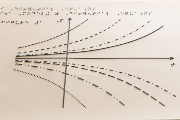
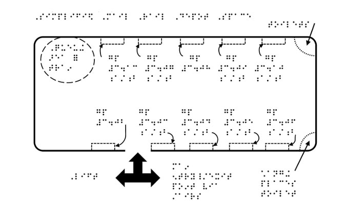
by Dave Horwood Whether you need a graph to accompany a scientific article, a map of your local neighbourhood or a tactile image of the solar system, we can help! Read on to find out how we produce our tactile products here at A2i and what other methods are available for creating tactile information.   …

Tactile line graph

7 August 2024

Tactile diagrams say so much that words cannot say

By Dave Horwood Since I lost my sight at the age of three, tactile diagrams, charts, images and maps have been useful to me in so many ways. Read on to find out how I use tactile diagrams in my daily life and how A2i can help with your tactile projects. Why are tactile diagrams …

A tactile map with Braille annotation

30 May 2019

The Postal Museum, London

The Postal Museum – transforming their visitor experience Customer: The Postal Museum  Services provided by A2i: Braille, Large Print, tactile maps, and Large Print maps.  Hannah Smith, Community Learning Officer, at The Postal Museum, comments: “A2i gave us useful advice and were helpful in producing large print and braille guides specifically tailored to both our …

image of a tactile map
Social media & sharing icons powered by UltimatelySocial